
Jacksonville ZIP Directory Coverage
Official Jacksonville material associates the city with three postal codes, but the evidence does not support treating them as three neat resident districts. The principal ordinary delivery area has a verified post office. A second code is tied to Jacksonville in city records, yet its exact current special or nonstandard role was not established. The third code appears with Little Rock Air Force Base addresses. Its current USPS classification should be checked before calling it a unique code.
| ZIP | Area or function | Postal point | Use note |
|---|---|---|---|
| 72076 | Principal ordinary Jacksonville delivery area | Jacksonville Post Office, 1205 W. Main | Verify the full address because the postal name can extend beyond the city line. |
| 72078 | Jacksonville-associated special or nonstandard function | Separate current station not established | Use address-level USPS confirmation; do not label it PO-box-only without proof. |
| 72099 | Little Rock Air Force Base address layer | Base-associated mail | City sources tie it to LRAFB; confirm its current formal USPS class. |
This Jacksonville ZIP code directory records only what the sources establish. No official split year, realignment date, per-code population table, or resident count was found. That gap matters. A postal code is built to route mail, while local government and property rolls follow legal boundaries and parcels.
The USPS ZIP Code Lookup is the right tool for confirming one complete Jacksonville address.
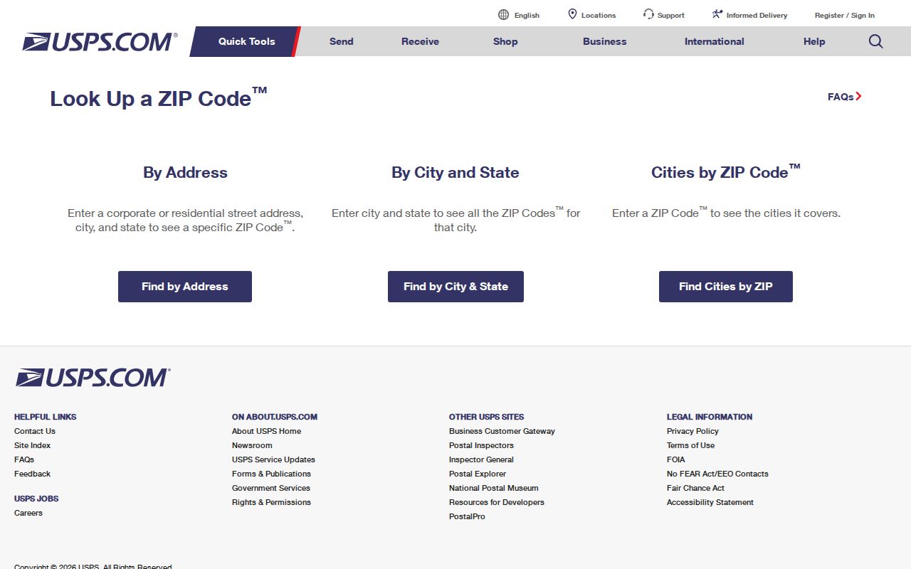
The USPS screen verifies postal formatting; it does not identify occupants or decide whether the parcel lies inside Jacksonville.
Jacksonville ZIP 72076 Mail Point
The main Jacksonville Post Office is at 1205 W. Main, with 501-982-4598 listed in the research. Its inspected retail hours were Monday through Friday from 8 a.m. to 5 p.m. and Saturday from 9 a.m. to noon. Hours can change, so check before a visit. That postal station confirms the core 72076 service point, not the exact city limit around every address that uses Jacksonville as its mailing city.
A strong search begins with a full street address, not a code alone. Confirm the delivery line with USPS. Then open the city zoning map or Pulaski County parcel viewer to test location and jurisdiction. If a name search is the goal, use a record source that actually indexes people. The code narrows the place but adds no proof by itself.
Note: A Jacksonville postal name is a mail-routing fact, not automatic proof of city residence.
Find Jacksonville Residents by ZIP
No inspected local public portal promised a simple free ZIP-wide resident export. ARCountyData advertises many search inputs, but a live ZIP field was not captured. A PAGIS postal-code layer was also not confirmed. VoterView checks one known registrant with identity facts and is not a browse-by-code tool. A lawful Jacksonville ZIP code directory workflow must therefore use verified address checks and the correct custodian for any broader file.
- Enter the complete address in USPS lookup and record the standardized postal city and code.
- Test the situs, or physical site, in the Pulaski County assessor and parcel map. Keep the owner's mailing address separate.
- Check Jacksonville city maps or documents when municipal jurisdiction matters.
- For a permitted voter-data project, ask Pulaski County Elections or the Arkansas Secretary of State whether a Jacksonville or ZIP slice can be supplied under current rules.
- Once a code has narrowed the search, use the Jacksonville directory by street for parcel and deed work at address level.
The assessor's raw-data export may support legitimate geographic study when its terms allow it, but it remains a property-owner dataset. It is not a roll of all people who live in Jacksonville. Record the file date, fields, and filters so the result can be repeated.
Jacksonville ZIP Lookup Fields
USPS verification works at the address level captured in the research. It should not be described as a resident search or bulk map. Enter enough detail to resolve one delivery point, then carry that normalized address into local records. The useful inputs and outputs are simple.
| Lookup item | Role in a Jacksonville search |
|---|---|
| Street address | Identifies the delivery point being tested. |
| City and state | Provides the claimed postal place for standardization. |
| ZIP Code | May be supplied or returned as part of the standardized result. |
| ZIP+4 result | Adds the delivery segment when USPS returns it. |
Do not add an unverified PAGIS filter or assessor field to this table. The research expressly marks those dynamic labels as gaps. A directory is more useful when it says what the tools cannot do.
Jacksonville ZIPs and City Limits
ZIP lines and Jacksonville's incorporated line answer different questions. USPS routes mail. Jacksonville governs land within its municipal boundary. Census ZIP Code Tabulation Areas are statistical shapes that approximate mail geography, not official service polygons. A property can use Jacksonville 72076 while lying beyond the incorporated edge, and a base address inside Jacksonville can use the 72099 layer.
The city's zoning map shows an irregular boundary and the LRAFB tract. No official evidence placed Jacksonville in another county; Pulaski County remains the land-record jurisdiction identified in the research. When a postal and city clue conflict, verify the actual parcel in the Pulaski County InteractiveGIS viewer, then check a recorded plat or deed if legal acreage or ownership is at issue.
- ZIP and ZIP+4
- The five-digit routing area and its four-digit delivery segment. Neither one is a city boundary.
- PO-box ZIP
- A code used for post-office boxes. The research did not confirm 72078 as PO-box-only.
- Unique ZIP
- A code assigned to one high-volume institution. Confirm current USPS status before applying that label to 72099.
- Carrier route
- A postal delivery path within a code, not a public list of residents.
Jacksonville ZIP 72099 and LRAFB
Little Rock Air Force Base sits within Jacksonville and adds a postal layer that does not match the ordinary image of a neighborhood ZIP. City material ties base addresses to 72099. The installation covers 6,217 acres, and official Jacksonville material reports about 3,332 residents and 7,200 people working there. Those figures describe the base context, not a searchable roll.
The base activated on October 9, 1955 after land acquisition from more than 150 owners. That history helps explain why an older rural address, a county deed, and a later base mailing label can point to the same broad part of Jacksonville while using very different location terms. Military turnover also makes short appearances in phone books, school news, and other dated sources unsurprising.
The Jacksonville North Pulaski School District provides useful local district and community context around Jacksonville and the base.
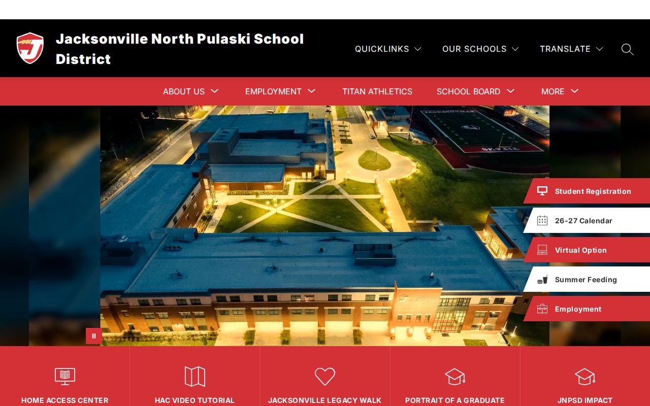
The district source adds geographic context but does not define USPS boundaries or publish a household directory.
Jacksonville Address Types by ZIP
Jacksonville records can show three different address concepts. The situs is the physical parcel location. The tax mailing address is where assessment mail goes, which may be elsewhere. The legal description identifies land through subdivision, lot and block, or section, township, and range. A ZIP code directory works with the postal and situs clues, while a deed search ultimately follows the legal description.
Jacksonville planning forms demonstrate the bridge. They can ask for the project street address, subdivision, lot and block, section-township-range, deed book and page, parcel number, and an attached legal description. When a postal search stalls, those fields turn the place into identifiers that the city, assessor, and recorder can recognize. No public address-searchable permit history was verified, so a described request to the city custodian is the fallback.
The Jacksonville Document Center is one public route for maps and city documents.
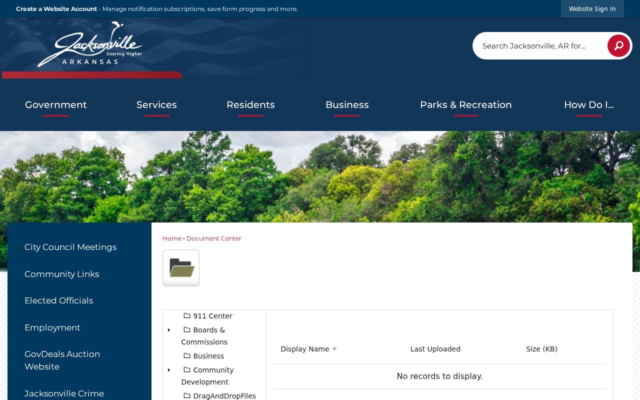
City documents help test municipal context after USPS has settled the postal form of an address.
Jacksonville ZIP Geography in Context
Jacksonville grew from a railroad town into an incorporated city shaped by the Arkansas Ordnance Plant and Little Rock Air Force Base. That past explains why county land descriptions, rural mailing points, the city line, and base postal labels overlap in a search. It does not prove a dated ZIP split, and none was found. Use the history to form better queries, not to fill gaps with guesses.
The Encyclopedia of Arkansas Jacksonville entry supplies a vetted overview of the city's place and history.
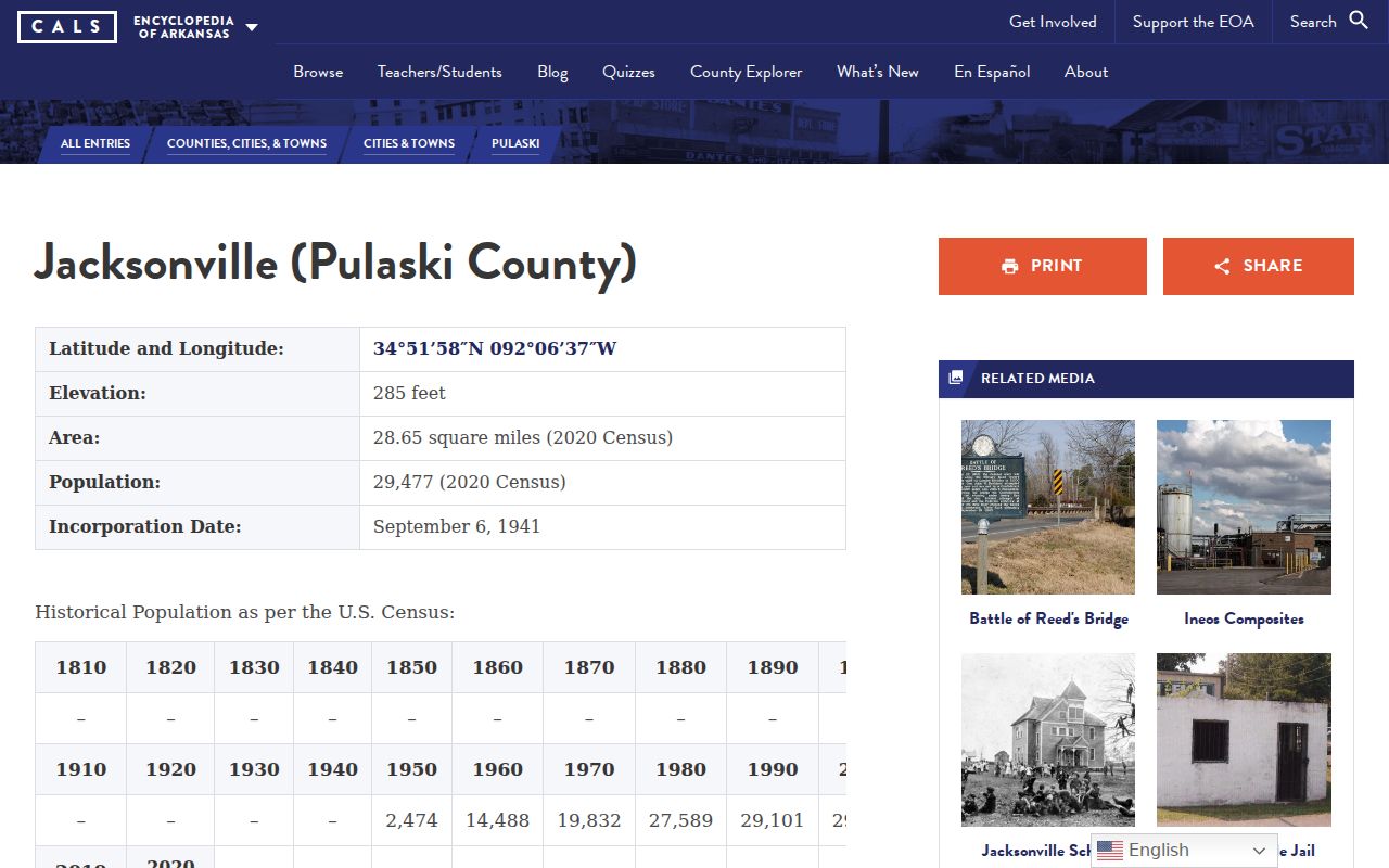
The historical frame helps distinguish the city from its postal labels without pretending to map carrier service.
The CALS Encyclopedia of Arkansas gateway provides the wider state research route.
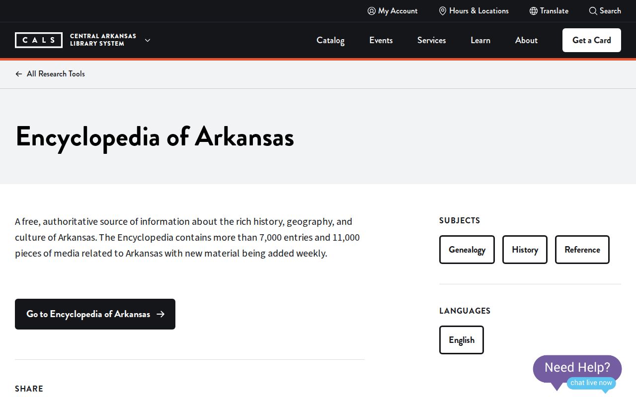
That gateway supports follow-up on Jacksonville institutions, events, and named places found beside an address.
Jacksonville ZIP Directory Fallbacks
When no ZIP-wide portal exists, use the office that keeps the record. The Pulaski County Assessor can answer property-record and mapping questions at 201 S. Broadway, Suite 310, Little Rock, or by phone at 501-340-6170 on weekdays from 8 a.m. to 4:30 p.m. The assessor also advertises raw-data export. Ask which geographic fields are present, what date the file reflects, and what terms govern reuse.
For voter data, VoterView remains an individual verification form. A broader request goes to Pulaski County Elections and Voter Registration at 401 W. Markham, South Lobby, 501-340-8336, or through the Arkansas Secretary of State process. The state request distinguishes registration, vote history, and a combined file. Vote history shows participation, never ballot choices. Secure-voter addresses are excluded from reproduction, and current custodian terms control any Jacksonville or code-based slice.
The Jacksonville Resource Directory can locate public and community organizations connected to a place.
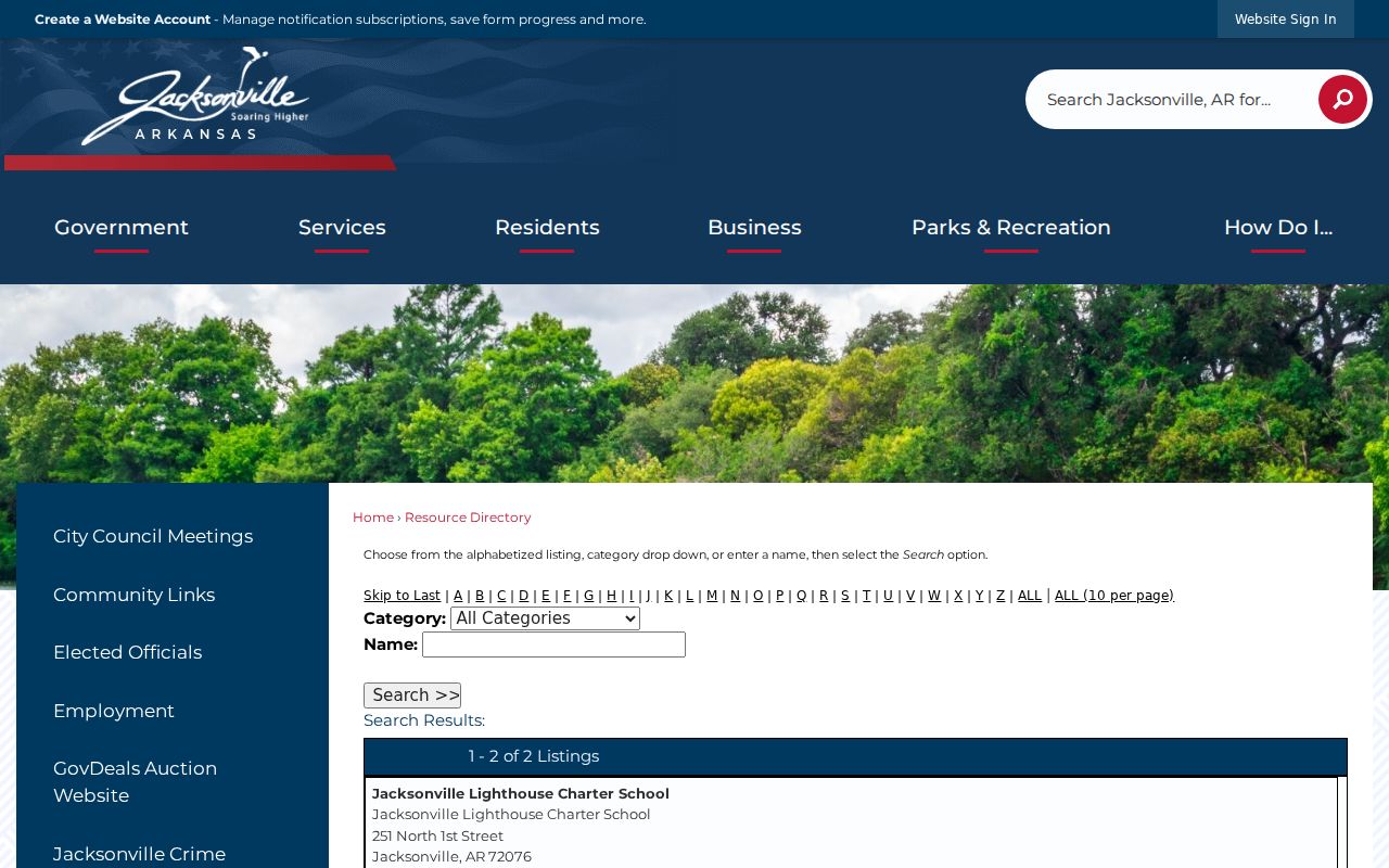
Organization listings can point to a service area or contact, but they are voluntary resources rather than official resident rolls.