
Jacksonville Block Record Sources
A block lookup combines land, owner, planning, voter, and historical sources. The parcel map answers which lots touch or face the subject address. Assessment cards identify the assessed owner and mailing destination. Zoning explains land use, and recorded deeds show changes in ownership. None of those sources lists every resident. A lawful voter-data request may add permitted registration fields, while an old directory can name a past householder only when a suitable volume exists.
| Source | What It Shows About a Block | Access |
|---|---|---|
| Pulaski InteractiveGIS | Parcel shapes, frontage, and adjacency | Public map; not a legal survey |
| Pulaski assessment roll | Owner, mailing, legal, and property facts | Free public property record |
| Jacksonville zoning and planning | Street, subdivision, land use, and parcel actions | Maps, packets, forms, or records request |
| Voter data | Lawfully released registration fields | Written request; protected addresses excluded |
| CALS directories | Past names and addresses where a volume covers the block | Catalog, library, and licensed databases |
Assessed owners and nearby households overlap only in some cases. A tax mailing address may lead outside Jacksonville. A homestead claim and matching situs can support owner occupancy, but neither proves who else shares the home. Research indicates that 49.6 percent of Jacksonville units are owner occupied, which makes the owner-versus-occupant gap central to block work.
Map Jacksonville Neighbors by Parcel
Use the Pulaski County InteractiveGIS parcel viewer for spatial orientation. Locate the subject parcel, zoom until lot edges and street frontage are clear, and inspect each parcel sharing an edge or facing it across the street. Record parcel identifiers, then open the related assessment cards. The exact live names of selection, buffer, measure, export, and layer tools were not verified, so ordinary parcel selection is the sound method.
- Find the known Jacksonville address and confirm that the selected shape matches its street frontage.
- Note the subject parcel ID, then select lots beside it and directly across the street.
- Open each assessment card and separate situs, owner mailing, legal description, and homestead facts.
- Use deeds or planning records only when an owner or boundary clue needs more support.
The useful process is: address → subject parcel → adjacent parcels → assessment cards → carefully stated owner clues. For a full named road rather than one block, the Jacksonville street directory carries the broader address chain.
Note: Parcel lines are compiled from deeds, plats, and surveys; a recorded instrument controls when the map and legal record disagree.
Jacksonville Neighbors and Owner Gaps
The assessor records ownership, not a full household. A Jacksonville parcel may be owned by a person who receives mail elsewhere, an estate, a trust, or an entity. Vacant land also appears on a parcel map. People who do not own the parcel and family members may never appear on the assessment card. Even when mailing and situs addresses match, that is evidence of owner occupancy rather than proof of every person at the address.
Commercial neighbor-search products compile public and licensed data, refresh at uneven times, and may join similar names. Official records have narrower claims and identifiable custodians. Compare the two categories before relying on a result.
| Source Type | Strength | Main Limit |
|---|---|---|
| Official parcel and assessment records | Named keeper, parcel ID, legal and dated facts | Owners are not all occupants |
| Official voter or planning records | Defined purpose and access rules | Protected or nonresponsive records stay closed |
| Commercial compiled results | Broad collection of leads | Unknown refresh dates and possible same-name merges |
Jacksonville Neighbors and Voter Access
Arkansas voter information links to VoterView, but the individual form is not a block browser. It requires a known person's registration method, first name, last name, and date of birth. Polling-place mode also uses a residential location. A Jacksonville neighbor list cannot be built by stepping through nearby addresses in that tool.
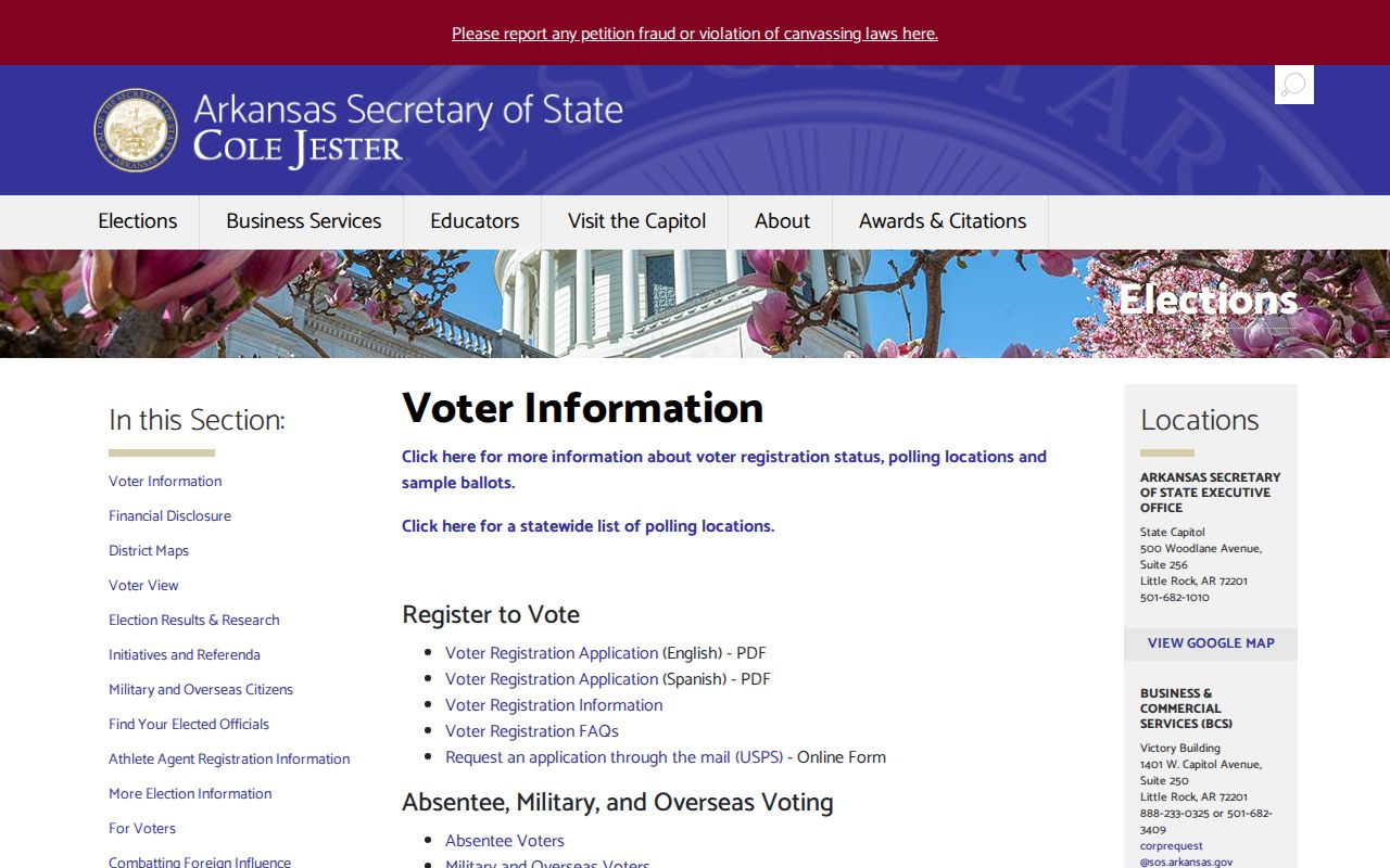
The separate voter-data request distinguishes registration, vote history, and combined data. Requesters provide contact and delivery facts plus the requested slice. Vote history means elections attended, never the choices made. Pulaski County Elections and Voter Registration at 401 West Markham can state the available format, Jacksonville or precinct filter, suppressed fields, reproduction estimate, and current terms.
Ark. Code §7-5-109 and Amendment 51 support access to voter lists in available form under current law. Secure-voter addresses are excluded from copies and Arkansas Freedom of Information Act access. Address maintenance, death comparisons, and status changes can also explain a miss.
Jacksonville Neighborhood Record Layer
City records name communities including Sunnyside, Stonewall, Foxwood, Northlake, and Heraldry Manor. Sunnyside was developed in the 1940s. Stonewall was described as about 50 years old in 2022. Jacksonville Community Development works with neighborhood groups, but no public citywide association membership list was found. Foxwood, Stonewall, and Sunnyside household rosters were not located. The LRAFB Community Council is a regional civic group, not a block directory.
| Community Source | Useful Public Material | Directory Limit |
|---|---|---|
| Jacksonville Community Development | Programs, planning, and association work | No verified master household roster |
| City boards and document center | Agendas, minutes, applications, and civic roles | Participation does not prove residence |
| HOAs and neighborhood groups | Voluntarily published contacts or notices | Member lists are private unless released |
| Churches and block-watch groups | Public events and organization contacts | Membership is not a public resident roll |
Use the Jacksonville form center to identify the right planning or city request route.
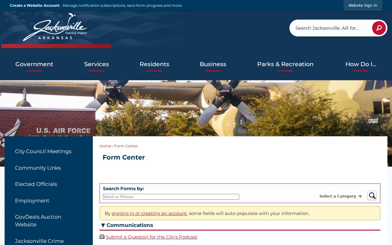
A focused request should name an existing parcel, case, plan, application, or date range. Arkansas agencies need not create a new neighborhood directory from separate records.
Read Jacksonville Block Land Use
Jacksonville planning records add context that the owner roll cannot. The city's zoning map shows roads, rail, water, Little Rock Air Force Base, rights-of-way, and residential, commercial, industrial, and planned-unit zoning. A planning action form can connect an applicant and property owner with a project street address, subdivision, lot and block, section-township-range, acreage, deed book and page, parcel, legal description, request, and signatures.
Those fields bridge a street label to legal identifiers. They can explain why a corner lot appears under a different number, why a vacant shape sits between homes, or why a nearby parcel is part of a larger tract. They do not name all people nearby. If a packet is not posted, ask Jacksonville for an existing nonexempt file and specify the parcel, project, action type, and date span.
Jacksonville Public Safety Records
Public safety sources answer narrow status questions. They should not be used as a substitute for knowing a block. Jacksonville Police records can be requested by email, mail, or at the counter with an incident number, involved name, approximate date or place, and requested record type. Fees are disclosed before processing. A simple request is commonly handled within three business days, while redactions and active-investigation limits can apply.
The Jacksonville Police report page sets out the local request channels.
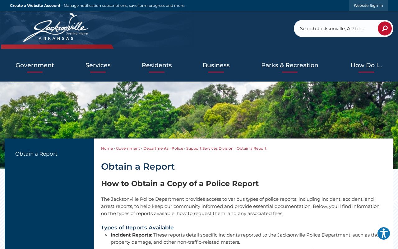
That request route concerns a known incident or file. It is not a household search.
The Pulaski County current inmate roster is a snapshot of county custody.
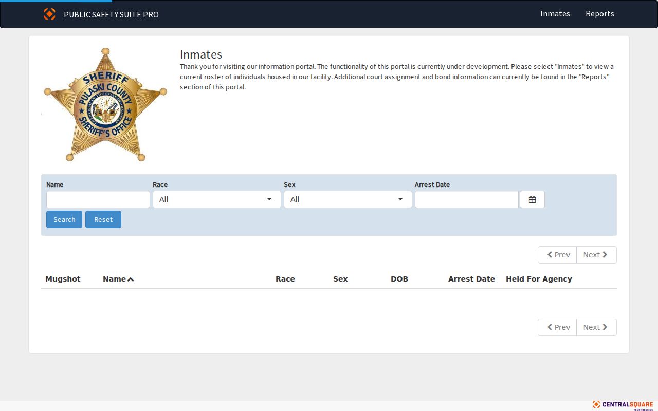
A county roster miss does not rule out release, transfer, state custody, or federal custody. Verify the identity and current status with the holding agency.
Jacksonville Registry Use Limits
The Arkansas Crime Information Center offender registry provides statutory public notification based on assessed risk and current rules. Arkansas uses levels one through four, from low risk through the sexually violent predator classification. Public display depends on the notification level and law. A result should be checked against identifiers and the current custodian notice.
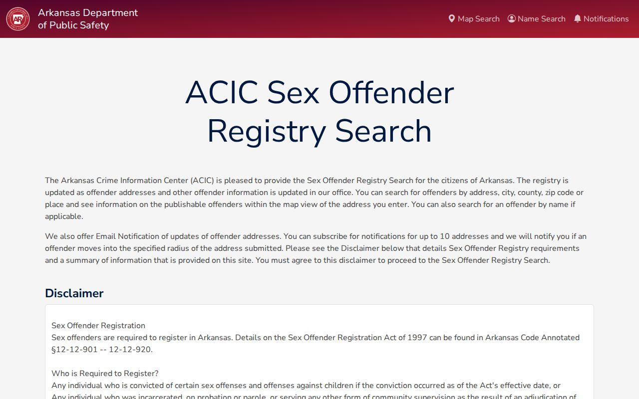
Registry facts are not a license to contact, watch, threaten, or harass anyone. VINE can provide custody-status alerts and can be more useful than repeated manual searches when a verified case creates a safety concern.
Jacksonville Neighbors in Local History
Historical block work has a different evidence base. CALS confirms a physical Jacksonville Phone Book, but its public catalog does not state the years or publisher. A Pulaski County Rural Directory based on 1952 lists names, house addresses, mailing addresses, mileage, and other directory facts, including Jacksonville subject coverage. It can bridge the public 1950 census and the growth tied to the air base opening in 1955.
Ask Roberts Library which volumes cover the target address and whether any are arranged in reverse by street. The Nixon branch at 703 West Main can provide public computers and staff routing, but specialist holdings should be confirmed with Roberts Library. Historic Jacksonville maps from 1972 and 1985 at UCA Archives may help reconcile an old street layout. A directory entry remains evidence for its own year, not proof of a present household.
Note: No verified Jacksonville reverse-directory years, public HOA roster, or complete historical poll-book run was found in the available research.
Privacy Limits for Jacksonville Neighbors
Private household facts stay private. Utility accounts, delivery data, driver records, and unpublished association, congregation, or watch-group membership are not public neighbor rolls. Secure voters are shielded under Ark. Code §7-5-112 and related rules. Arkansas's driver-license Address Confidentiality Program under Ark. Code §27-16-811 can substitute a post-office box for qualifying participants. The parcel roll still shows the land record, but it cannot be used to defeat a protected person's address safeguards.
A block study should use the smallest scope needed. Record the source date. Distinguish owner, applicant, voter, and occupant, and do not publish suppressed identifiers. When a record is unclear, ask its custodian instead of filling the gap with a guess. That practice protects people nearby and makes the Jacksonville result more accurate.
Lawful use. Jacksonville neighbor records may support civic curiosity and personal safety. Never use them to stalk, harass, threaten, or intimidate a person.