
Walk a Jacksonville Street Record
A Jacksonville street directory search establishes facts in layers. The assessor identifies the assessed owner and parcel. The map places that parcel beside other lots. A deed names parties to a recorded transfer, while planning files may connect the street address to lot, block, deed book, and parcel identifiers. None of those facts alone proves who sleeps at the address. Residency needs separate support from a lawful voter file, a verified historical directory, census evidence, or another record created for a different purpose.
- Enter the address in the Pulaski County property system. Save the parcel number, assessed owner, situs address, legal description, and any book-and-page lead shown.
- Open the same site in the county parcel viewer. Check directionals, lot boundaries, frontage, corner placement, and nearby parcels before assuming a text match is correct.
- Carry the legal description to the Real Estate Department. Match the deed parties to the same subdivision, lot, block, or book and page.
- Ask the proper custodian for an existing planning file or voter-list format when that record is relevant. VoterView cannot browse a street.
- For an older household, move to a verified Jacksonville phone book, rural directory, public census, map, or newspaper collection rather than treating the owner roll as a residents list.
The chain matters. Jacksonville has no official master roster of every person at every home. A by-address search is strongest when each new fact retains its record date and source.
Jacksonville Street Directory Fields
The Pulaski County Assessor services page routes the public to its sponsored property search and mapping tools. The system advertises current real estate, parcel history, sales history, legal and building descriptions, values, land use, and reports. Its free search also exposes indexed categories that help when one address produces weak or duplicate results.
| Search category | How it helps by street | Limit to keep in view |
|---|---|---|
| County | Keeps the query in Pulaski County | Jacksonville is not the county seat |
| Book and page | Joins parcel clues to a recorded instrument | The clerk record controls title |
| Lot and block | Checks a street result against its plat identity | Modern address may not appear in an old deed |
| Subdivision | Groups lots beyond a single street spelling | Subdivision and postal area are different systems |
| Market area | Adds assessment context | It is not a resident category |
| Improvement type | Distinguishes kinds of assessed structures | It does not name occupants |
The live owner, situs-address, and parcel-number labels did not render during research, so exact matching controls should be checked on the current screen. The captured Pulaski property-record search shows the official starting route:
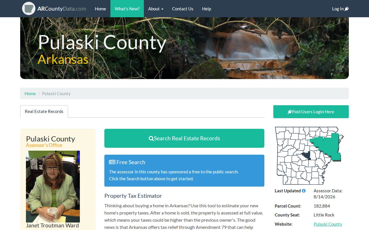
The interface supports discovery, but a current result must still be compared with the clerk’s recorded deed when ownership is disputed.
Jacksonville Situs and Mailing Clues
A situs address is the parcel’s physical location. The owner mailing address is where tax correspondence goes. Jacksonville street directory work must preserve that split. An owner may receive mail elsewhere, through an entity, or at an alternate address. Matching situs and mailing addresses, combined with a homestead indication, supports owner occupancy, but it never reveals every person in the household.
- Parcel
- A mapped unit of land identified for assessment and record tracking.
- Situs address
- The physical street location of the assessed parcel.
- Plat
- A recorded drawing that defines lots, blocks, streets, and other boundaries.
- Criss-cross directory
- A directory arranged by address instead of by surname. No exact Jacksonville reverse-directory run was verified.
Jacksonville’s owner-occupancy rate was 49.6 percent in the researched Census profile. That local number makes the limit plain: a parcel-owner list cannot stand in for a street directory of households.
Map Jacksonville Streets in PAGIS
The Pulaski County InteractiveGIS viewer supplies spatial context. Locate a Jacksonville address, select its parcel, zoom to street frontage, and inspect the shapes beside and across from it. Directionals, vacant lots, corner parcels, and repeated street names can make a text result misleading. Record each parcel identifier before opening assessment cards.
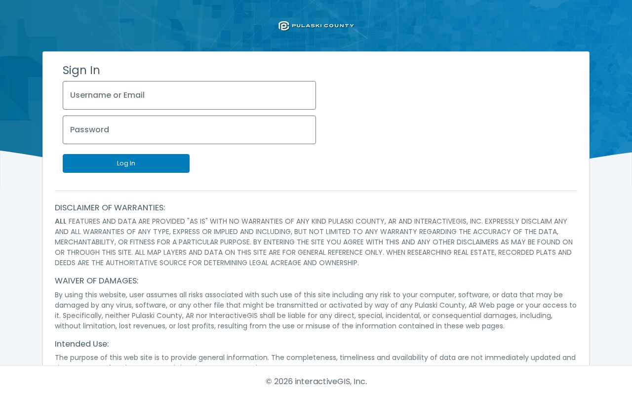
The map is not a survey. Its own warning leaves legal acreage and ownership to deeds, plats, and surveys, so parcel lines are clues rather than final proof.
The GIS interface did not expose verified buffer, export, measure, or layer labels during research. A sound Jacksonville by-street method uses only the tools visible in the current viewer and avoids promising a radius search that may not exist.
Note: Save the parcel ID with every map observation so a later deed or planning result can be tied to the same land.
Jacksonville Records Keyed by Address
Different Jacksonville records answer different street questions. Online access is only one channel. The assessor has a public office and phone route, deeds move from web search to a scheduled research room, and planning material may require a focused request for an existing file.
| Address record | Official keeper | Useful result | Access route |
|---|---|---|---|
| Parcel card | Pulaski County Assessor | Assessed owner, legal and property facts, mailing clue | Free ARCountyData; office or 501-340-6170 |
| Parcel map | Pulaski assessor GIS | Position, frontage, and adjacent shapes | Public InteractiveGIS viewer |
| Deed, lien, or plat | Circuit and County Clerk | Recorded parties and title chain | Web from 1994; research room back to 1819 |
| Zoning or planning file | Jacksonville city departments | Land use, owner or applicant, parcel action | Published forms, packets, or records request |
| Voter data | Secretary of State or county elections | Lawfully released registration fields | Individual VoterView or separate data request |
The street name links the set, but parcel and legal identifiers make the match reliable. Current taxes belong to the county treasurer. Title belongs to the clerk. The assessor cannot settle a title dispute, and planning files do not replace recorded instruments.
Jacksonville Streets Reach the Deeds
Old deeds are often indexed by party and legal description, not a modern street address. First translate the address through the parcel card. Then use the assessed owner, subdivision, lot and block, or book and page at the Pulaski County Real Estate Department. Its public web records begin in 1994, while scanned holdings reach back to 1819.
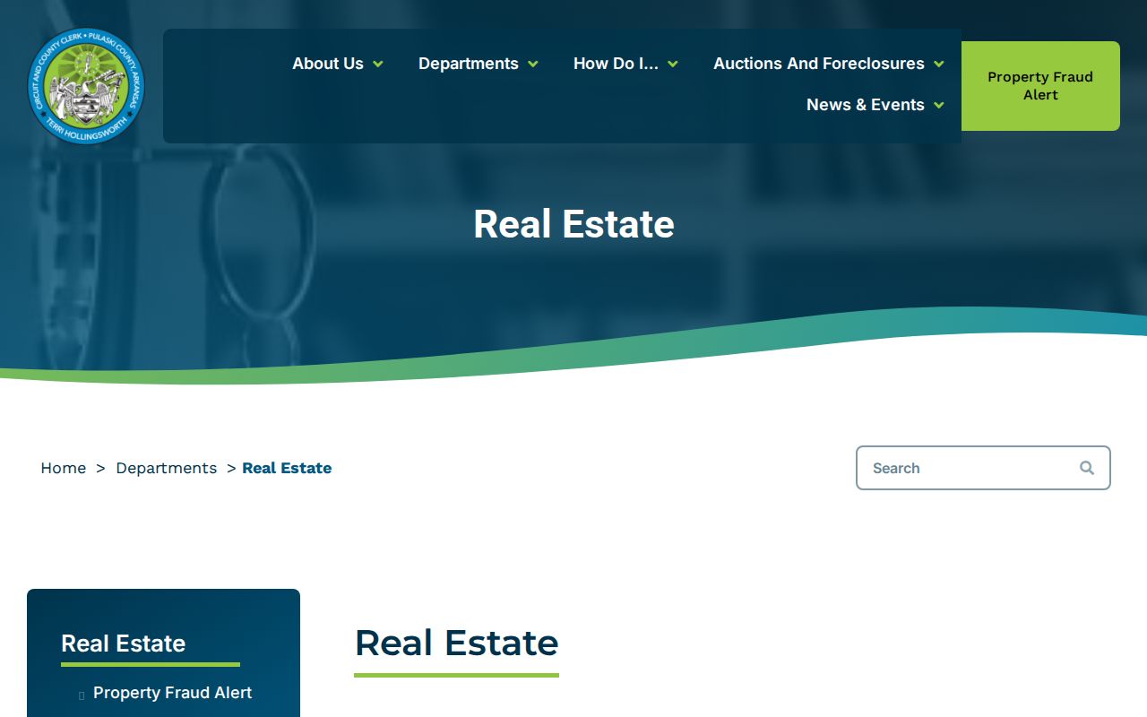
The page documents deeds, mortgages, plats, liens, leases, and the research route. A grantor is the person or entity transferring an interest; a grantee receives it. Match names to the same land description before adding either party to an address history.
Home access stops at the web boundary. For 1819 through 1993, book one of two research computers online for a two-hour Monday-through-Thursday slot at 8:15, 10:15, 12:15, or 2:15. No phone or email bookings are accepted, and a researcher may hold no more than two appointments per week. Questions can go to 501-340-8433 or realestate@pulaskiclerkar.gov, while the county’s AccessGov directory supplies a written Real Estate Records Order route. Published recording charges are not copy charges, so ask which copy or certification fee applies.
Jacksonville Planning Bridges Addresses
Jacksonville planning records can translate between address systems. The city Planning Action form places project street address beside subdivision, lot and block, section-township-range, acreage, deed book and page, parcel, owner, applicant, and legal-description fields. That combination can repair a weak deed search or distinguish two similar sites. No verified public permit portal or address-query coverage year was found.
Begin at the Jacksonville departments directory and ask the relevant city custodian for an existing, nonexempt planning packet or permit file. Give the address, parcel, known owner or applicant, record type, and date range. Request native electronic format when available and ask for a cost estimate.
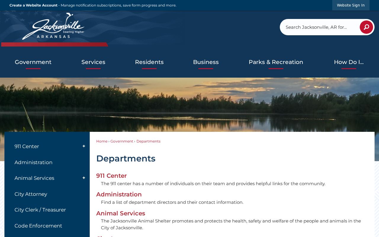
The city gateway helps route a precise request. Arkansas FOIA can reach an existing record, but it does not require an office to create a custom Jacksonville street directory.
A focused request should describe a record rather than ask staff who lives at an address. Name the planning action, permit, zoning packet, ordinance, or other existing file; provide the street address, parcel number, known party, and a narrow date range. Ask for the native electronic format and a cost estimate before charges pass a stated limit. If part of a file is exempt, request the reasonably separable public portion and the legal basis for any withheld material. When an active-use or storage delay applies, Arkansas practice calls for written certification and an access date within three working days.
City land-use material adds context, not a household list. Jacksonville’s zoning map distinguishes roads, rail, water, the air base, rights-of-way, and residential, commercial, industrial, and planned-unit areas. Those layers can explain why parcels look or function differently along one road. They do not establish that an assessed owner resides there.
VoterView Is No Street Directory
Arkansas VoterView asks for a first name, last name, date of birth, and a residential location in polling-place mode. It verifies a known individual’s registration and polling details. It cannot browse every Jacksonville address on a road. A separate Secretary of State request can seek registration, vote-history participation, or both, and Pulaski County Elections can explain available formats, reproduction costs, Jacksonville or precinct filtering, and current field suppression.
Secure-voter addresses are removed from reproduced data and are not available through FOIA. Vote history means elections in which a person participated, never ballot choices. A no-match may reflect spelling, status, list maintenance, or a protected record.
This is a useful myth to clear up. A lawful voter-data file is a distinct custodian process, not a hidden switch inside the personal lookup form.
Older Jacksonville Streets Need Context
Jacksonville became an incorporated city in 1941, but Pulaski County land records begin in 1819. Current street names may fail in early land work because party names, township and range, or a later deed’s recited legal description carried the identity. The Arkansas Master Address Program explains the statewide address framework:
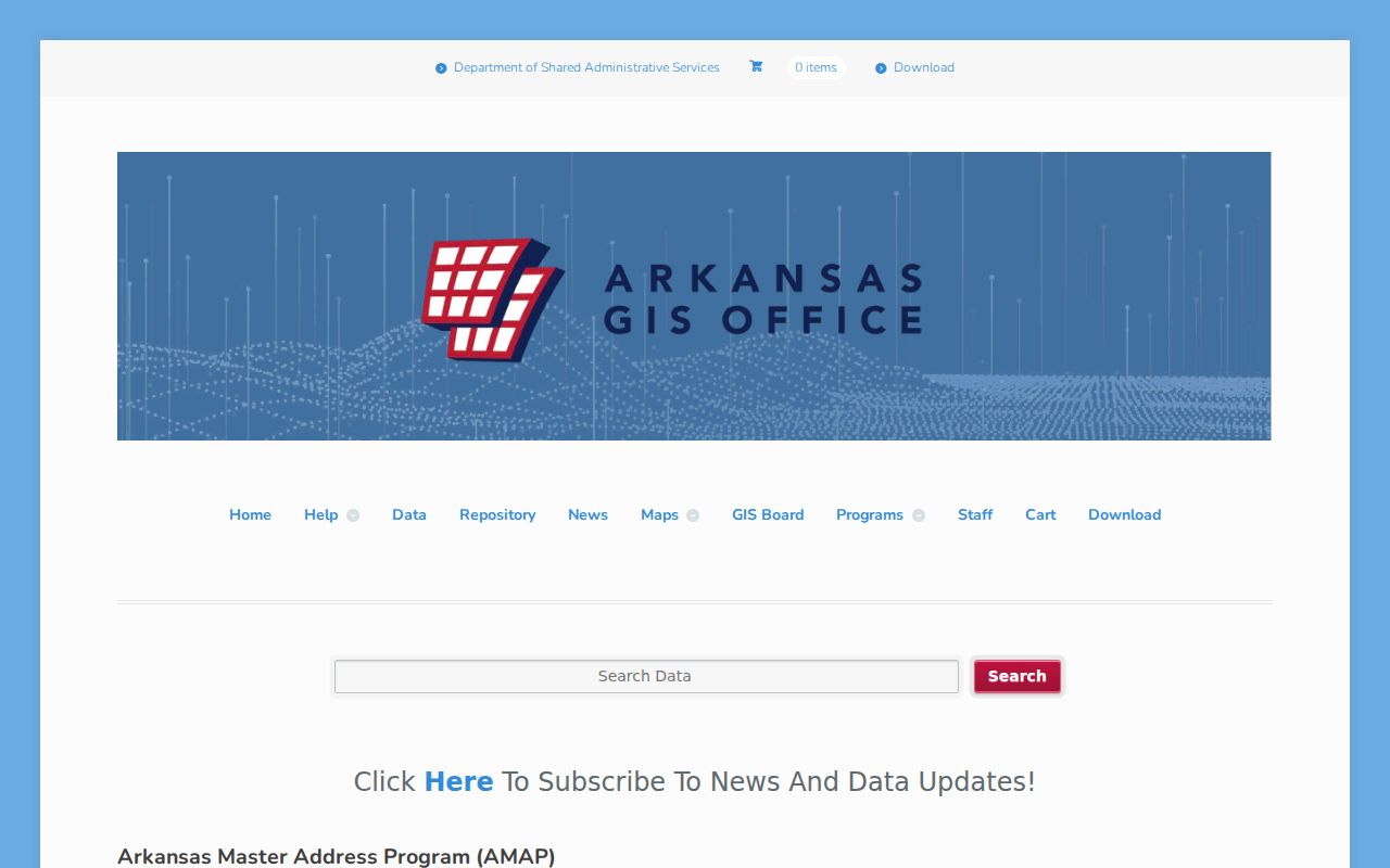
The statewide resource helps explain modern address structure, but it is not a resident roll. No dated Jacksonville renumbering project was verified, so an unexplained mismatch should be tested with the city’s 1972 and 1985 maps, plats, deeds, and nearby directory years instead of being assigned an invented change date.
Jacksonville’s wartime Arkansas Ordnance Plant growth and the later Little Rock Air Force Base acquisition reshaped local land and household movement. More than 150 owners were involved in the 1952-53 base acquisition. A private deed chain can therefore end in public land, and a family may have appeared for only a short span.
Jacksonville Street Directory Limits
A property roll names assessed owners, not all Jacksonville residents. Renters, relatives, guests, and other household members cannot be inferred from a deed or parcel card. Utility customer records, delivery data, and motor-vehicle addresses are not substitute public rosters. Arkansas law also shields secure voters and qualifying addresses, while federal law limits motor-vehicle personal information.
Historical directory work has its own limits. CALS confirms a physical Jacksonville Phone Book and a 1952-based Pulaski County rural directory, but public metadata does not verify the phone book’s years or a Jacksonville reverse arrangement. Use the Jacksonville city directories collection to locate the actual volume before stating that it lists an address.
Lawful use. Jacksonville address records support family research, property history, and civic review. Never use a street search to stalk, harass, threaten, or harm anyone.
A careful street directory keeps each conclusion narrow. Ownership, mailing destination, principal-residence support, registration, and historic occupancy are different claims, and each needs its own dated source.